A new study by the U.S. Geological Survey and NASA shows the Deepwater Horizon oil spill in 2010 not only caused widespread damage to Louisiana’s already crumbling wetlands, but also speeded up erosion since then.
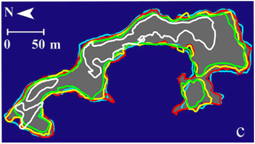
Researchers measured shoreline losses in Barataria Bay by comparing satellite images taken before and after the spill. They concluded wetlands losses caused by the spill continued for years and spread to areas where little oil had washed ashore.
One year after the spill, shorelines that had shown little or no erosion in 2009 and early 2010 experienced dramatic erosion, researchers said. Erosion was worst in areas that saw the most oil, but in 2012 the high loss rates extended to areas where little oil had been found.
The impact on the marsh was revealed when Hurricane Isaac, a Category 1 storm, came ashore in August 2012, a little more than two years after the spill. Images showed post-Isaac erosion rates in Barataria Bay were highest where the most oil had washed ashore.
“There was broadly dispersed erosion due to oiling from the Deepwater Horizon spill and more severe, but localized, erosion from Hurricane Isaac,” Amina Rangoonwala, USGS geophysicist and lead author of the study, said in a news release.
In 2017, BP will begin paying Louisiana about $500 million annually for 15 years to compensate for its damage to natural resources. Most of that money must be spent on repairing wetlands damage.
